Coney Island Creek Resiliency Project
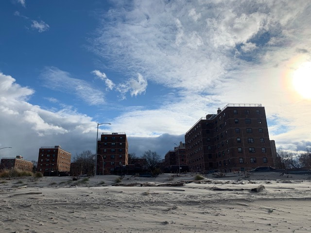
Insight Civil is supporting the McLaren Engineering Group on the Coney Island Creek Resiliency project for the New York City Economic Development Corporation (NYCEDC). Coney Island Creek is an inlet in southern Brooklyn that separates the Coney Island neighborhood from the rest of Brooklyn. During Superstorm Sandy, Coney Island Creek was a major entry point for storm surge that caused flooding and damage to the communities of Coney Island. The Special Initiative for Rebuilding and Resiliency (SIRR) Report made recommendations for the reconstruction and fortification of NYC shorelines to provide protection from future flooding caused by elevated sea level, storm surge, and coastal inundation.
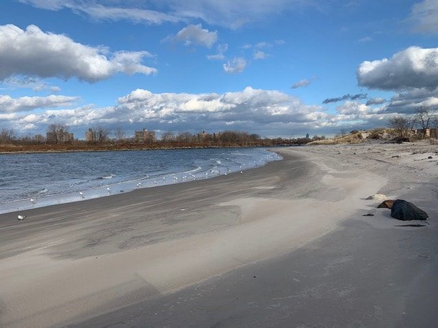
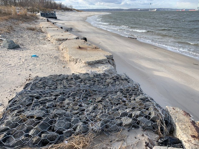
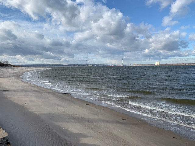
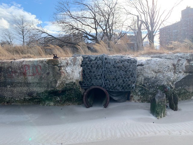
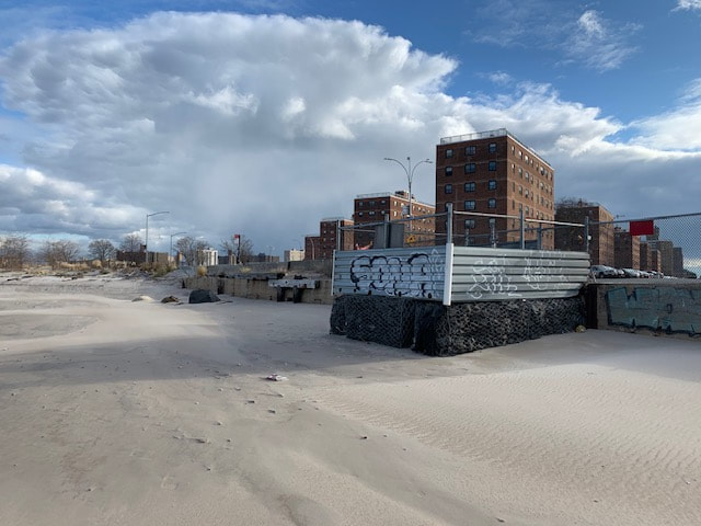
Planners and engineers at Insight Civil are supporting infrastructural design improvements to the shoreline infrastructure along the southern edge of Coney Island Creek to mitigate the effects of sea level rise at the 2050 water level. The project area will stretch along the water’s edge from West 23rd Street, east to the Cropsey Avenue bridge, encompassing a cluster of waterfront sites north of Neptune Ave. New shoreline protections will include but not be limited to reinforcement of existing bulkhead, rehabilitation of relieving platforms, repair and implementation of sheet-pile bulkhead, revetments, berms, elevations of street ends, and other measures as deemed appropriate. In addition to upland civil engineering support, planners at Insight Civil are supporting the McLaren team with components of the environmental review, permitting and ULURP application processes. Specifically, planners at Insight Civil are working closely with members of the project team to lead the ULURP and zoning aspects of the project work. Due to the complex nature of the land use and ownership conditions both within, and adjacent to, the project area, EDC and the project team have engaged in extensive inter-agency and stakeholder coordination upfront in order to determine the relevant proposed land use actions required by the project and to ensure transparency in the process. Insight Civil will be guiding the project through the ULURP application and subsequent stages of public review and approval.
Planners and engineers at Insight Civil are supporting infrastructural design improvements to the shoreline infrastructure along the southern edge of Coney Island Creek to mitigate the effects of sea level rise at the 2050 water level. The project area will stretch along the water’s edge from West 23rd Street, east to the Cropsey Avenue bridge, encompassing a cluster of waterfront sites north of Neptune Ave. New shoreline protections will include but not be limited to reinforcement of existing bulkhead, rehabilitation of relieving platforms, repair and implementation of sheet-pile bulkhead, revetments, berms, elevations of street ends, and other measures as deemed appropriate. In addition to upland civil engineering support, planners at Insight Civil are supporting the McLaren team with components of the environmental review, permitting and ULURP application processes. Specifically, planners at Insight Civil are working closely with members of the project team to lead the ULURP and zoning aspects of the project work. Due to the complex nature of the land use and ownership conditions both within, and adjacent to, the project area, EDC and the project team have engaged in extensive inter-agency and stakeholder coordination upfront in order to determine the relevant proposed land use actions required by the project and to ensure transparency in the process. Insight Civil will be guiding the project through the ULURP application and subsequent stages of public review and approval.

