Coney Island Green Infrastructure Siting and GIS Support
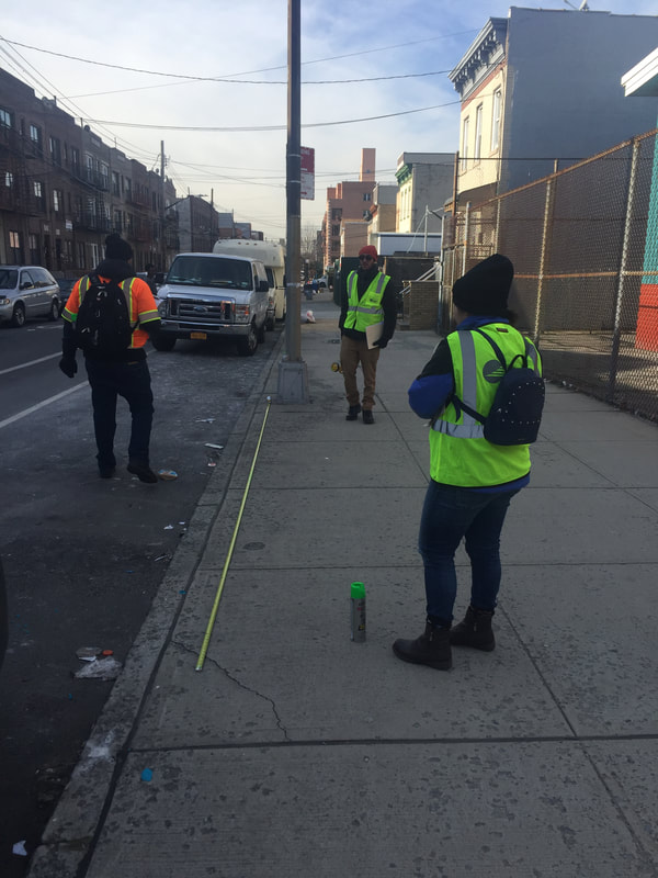
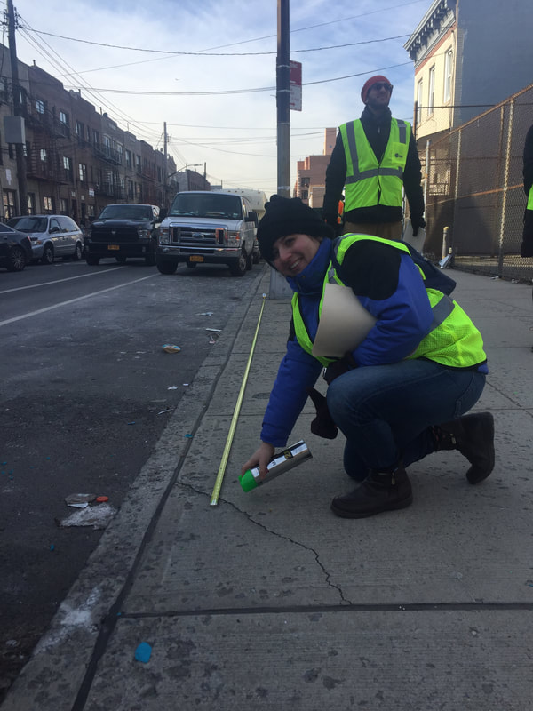
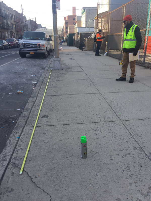
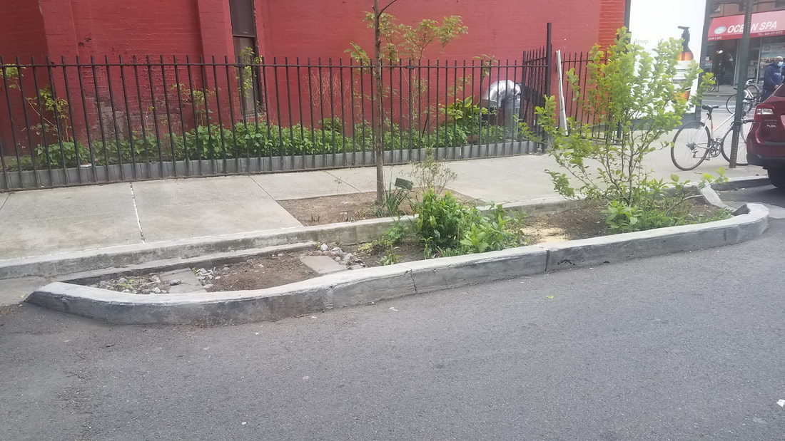
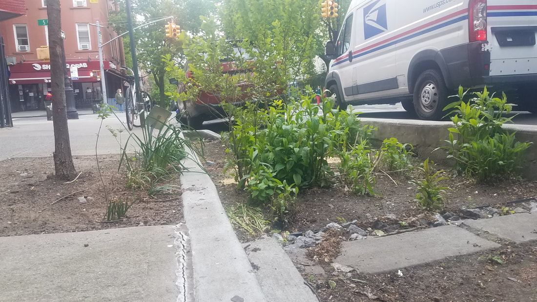
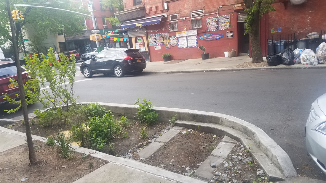
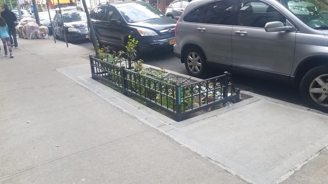
Insight Civil worked with Dewberry Engineers to provide field reconnaissance support for siting potential locations for right of way bioswales (ROWBs), stormwater green streets (ROW SGSs), right of way rain-gardens (ROWRG), and other green infrastructure (GI) best practice interventions in the Brooklyn Coney Island Wastewater Treatment Plant tributary area CI-005. The area-wide project involves design of the equivalent of 915 ROW GI sites in the CI-005 tributary area to the Coney Island Wastewater Treatment Plant in Brooklyn. The total project area comprises over 600 acres spanning roughly 100 blocks in Central Brooklyn. Engineers and planners at Insight Civil performed 12 weeks of field reconnaissance and GI siting work.
Engineers and planners from Insight Civil walked through the delineated tributary areas in Brooklyn and identified utility vaults, basements, basement extensions, and other sub-surface civil infrastructure that could impede siting of green infrastructure. In addition to field reconnaissance, engineers and planners at Insight Civil supported development of 10% of ROW SGS schematic drawings. Insight Civil staff also developed priority green infrastructure site lists for agency review (NYCDEP), as well as a list of sites with suspected sub-surface infrastructure conflicts. Dewberry Engineers and Insight Civil adhered to NYCDEP’s Bureau of Engineering Design and Construction (BEDC) – Green Infrastructure site selection procedures, which include evaluation of specific sub-tributary areas using NYCDEP GIS sewer maps, walkthroughs with NYCDEP, and standard site analyses. Urban planners at Insight Civil created area-wide maps of all proposed GI siting locations, categorized by type and indexed.
Engineers and planners from Insight Civil walked through the delineated tributary areas in Brooklyn and identified utility vaults, basements, basement extensions, and other sub-surface civil infrastructure that could impede siting of green infrastructure. In addition to field reconnaissance, engineers and planners at Insight Civil supported development of 10% of ROW SGS schematic drawings. Insight Civil staff also developed priority green infrastructure site lists for agency review (NYCDEP), as well as a list of sites with suspected sub-surface infrastructure conflicts. Dewberry Engineers and Insight Civil adhered to NYCDEP’s Bureau of Engineering Design and Construction (BEDC) – Green Infrastructure site selection procedures, which include evaluation of specific sub-tributary areas using NYCDEP GIS sewer maps, walkthroughs with NYCDEP, and standard site analyses. Urban planners at Insight Civil created area-wide maps of all proposed GI siting locations, categorized by type and indexed.